Natural Assets
Our work is centred around protection, conservation and education of our natural assets and also creating corridors on privately held land linking our three primary natural assets (Gordon-Frankland River, Kent River and Balicup Wetlands Suite). Biodiversity provides stability of ecosystem function and therefore resilience to farming landscapes. A diversity of woody and herbaceous perennial plants adds stability to landscapes dominated by annual crops and pastures. They provide habitat for beneficial fauna that together help maintain ecosystem services such as soil formation, provision of food and shelter, pollination, cycling of nutrients, pest management, hydrological balance, a lovely place to live and much more. Within the Gillamii catchment are many smaller lakes, reserves, a fauna sanctuary, unique flora, rare fauna and the Stirling Range National Park.
Lakes
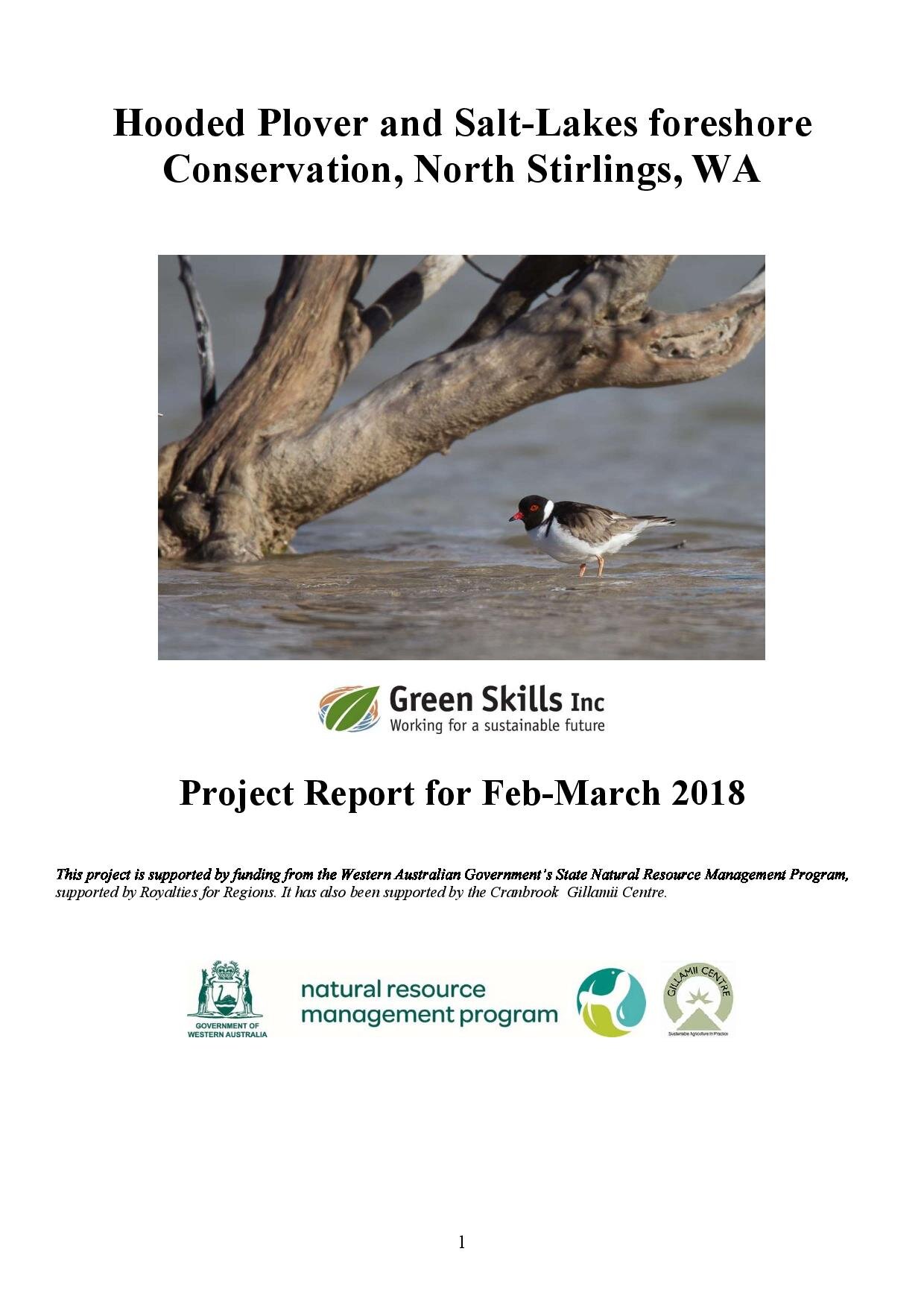
This is a short-term Hooded Plover and Salt Lakes foreshore conservation project based at the Balicup Group of Wetlands, a series of salt lakes to the north of the Cranbrook townsite. Key tasks include, undertaking surveys, register Hooded Plover sightings on Birdlife portals and recommendations to landholders relating to fencing, predator control, islands, revegetation and stock management.
Publication Date: 31 /3/2018 Author: Tony Peterson Document Type: Project Report - .pdf 3.9mb
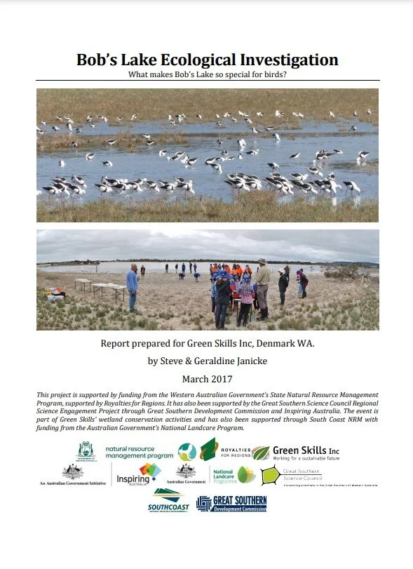
This report examines the ecology of the two connected lakes and is a reconnaissance level assessment that incorporated a Citizen Science event. The main question was; what waterbirds are using the lake and what are they eating?
Publication Date: 31/3/2019 Authors: Steve and Geraldine Janicke Document Type: Report - .pdf 3.4mb
The aim of the Wetlands Implementation Assessment is to determine which wetland protection projects landholders are planning, and to document the proposed projects. Individual proposed projects were assed according to the threatening processes and conservation values identified in the corresponding management plans for the wetland suites.
Publication Date: 30/4/2009 Author: Green Skills Inc Document Type: Report - .pdf 152kb
The Balicup suite contains a range of wetlands that occur in both nature reserves and on privately owned property. The nature reserves include the major lakes Balicup, Camel & Jebarjup.
Publication Date: 31/1/2005 Author: Keven Hopkinson Document Type: Report - .pdf 497kb
The three large lakes in the upper Kent River catchment – Nunijup, Poorrarecup and Carabundup – are the natural disposal points for discharge from the catchment and their salinities may have risen as a result of forest clearing and lower rainfall, possibly caused by climate change.
Publication Date: 30/6/2009 Author: MA Barli and J De Silva Document Type: Report - .pdf 4.5mb
The Lake Muir-Unicup Natural Diversity Recovery catchment comprises many water bodies, including Lake Muir and unicup Lake, occupying a broad flat largely internally draining landscape. Within the catchment sediments of the Bremer Basin overlie part of the Albany-Fraser Groundwater Province and a small part of the Yilgarn-southwest Groundwater Province.
Publication Date: 31/4/2003 Author: Robin Smith Document Type: Report - .pdf 2.9mb
Reserves, Fauna Sanctuaries & National Parks
This traditional burial and meeting place is located at the junction of the boundaries of the Minang, Korent and Kaneag Noongar groups on the Yeriminup Road. From 1836 to 1839 a military outpost was established adjacent to the reserve because of tribal fighting.
(Greenskills)
Balijup is a special property in Western Australia’s Great Southern region near the town of Tenterden. Today it is a shining example of Landcare. Settled by the Hordacre family in the 1920’s, this unique farm comprises over 700ha of lakes, wetlands, bush and plantations, as well as 120ha of cropland.
Publication Date: 31/3/2020 Author: Green Skills Inc Document Type: Report - .pdf 2.6mb
The Shire of The Shire of Tambellup has approximately 12% native vegetation remaining, of which only 24.5% occurs on public lands (Shepherd et al, 2002). The Tambellup Water Reserve No. 2 is by far the largest reserve in the Shire, being 688ha in total (Mercer, 1996).
Publication Date: 31/8/2003 Author: Wendy Bradshaw Document Type: Report - .pdf 100kb
Tambellup is experiencing increasing salinity problems. Saline groundwater levels are close to the soil surface and cause deterioration of buildings, roads, infrastructure, death of trees and scalding of land including the sporting grounds. Many hectares of land in the Jam Creek Catchment has become salt-affected and salinity is on the increase.
Publication Date: 1997 Author: R Ferdowsian and A Ryder Document Type: Report - .pdf 1.7mb
Flora & Fauna
EPBC Act (Environment Protection and Biodiversity Conservation Act 1999) provides for the listing of nationally threatened native species and ecological communities, native migratory species, and marine species.
Frankland River local Jim Parry has compiled a list of orchids found on Loc 1997 at the Southern entrance to the townsite. This special piece of diverse bush provides a wide variety of native plants and an opportunity for birds and other animals to move across the landscape safely.
Publication Date: Unknown Author: Green Skills Document Type: Brochure - .pdf 2.3mb
Carnaby’s Black-Cockatoo is one of two white-tailed black-cockatoos found in South-western Australia. They are found from Kalbarri in the north to Cape Arid in the east. The Carnaby’s generally (though not always) nest in the Wheatbelt. The very similar looking Baudin’s Black Cockatoos are found in the wetter South West, but their ranges overlap in some areas.
Publication Date: Unknown Author: Birdlife Australia Document Type: Booklet - .pdf 972kb
This booklet aims to help you identify Australia’s resident and migratory shorebirds. Sadly, these beautiful birds and their inland and coastal wetland habitats and breeding grounds are under pressure in Australia.
Publication Date: Unknown Author: Birdlife Australia Document Type: Booklet - .pdf 17.5mb
This is a short-term Hooded Plover and Salt Lakes foreshore conservation project based at the Balicup Group of Wetlands, a series of salt lakes to the north of the Cranbrook townsite. Key tasks include, undertaking surveys, register Hooded Plover sightings on Birdlife portals and recommendations to landholders relating to fencing, predator control, islands, revegetation and stock management.
Publication Date: 31 /3/2018 Author: Tony Peterson Document Type: Project Report - .pdf 3.9mb
This report provides a brief description and information on the distribution, habitat and conservation status of flora declared as rare under the Western Australian Wildlife Conservation Act (Threatened Flora) in CALM’s Katanning District and makes recommendations for research and management actions necessary to ensure their continued survival. https://florabase.dpaw.wa.gov.au/
Publication Date: 12/3/19 Author: Mal Graham and Murray Mitchell Document Type: Report - .pdf 1.3mb


